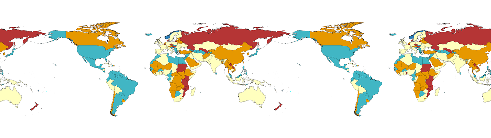

Our research Team applies advanced geospatial models to better understand the epidemiology of tuberculosis at a local, national, regional, and global scales.
Tuberculosis is the second leading infectious cause of death in the world, affecting more than 10 million people and killing 1.5 million people every year. It is also a major cause of mortality and morbidity in children from low- and middle-income countries. The Team’s priority is to deliver strategies to prevent, diagnose and treat tuberculosis to reduce the global burden of disease.
Generally, the GeoTB team research work centres around two key themes:
- Tuberculosis: The research team integrate contemporary and sophisticated analytical methods into translational research frameworks to measure the global and local burden of disease, design new prevention strategies, and improve existing diagnostic and treatment approaches through collaborative research. The overall goal is to design an innovative approach that contributes to global TB elimination efforts.
- Geospatial modelling: The Team employs advanced geospatial modelling to study health inequalities and reduce disease burden, measure the impacts of environmental exposure on population health, quantify the effectiveness of health interventions, support disease control programs through the production of risk maps and improve individual and public health outcomes through the development of new intervention strategies.
In addition to the above two programs of research, our research team prioritize training the next generation of TB researchers and geospatial experts in Australia, the Asia Pacific Region, and globally through PhD supervision, focused mentorship, workshops, and seminars.
Collaborations
The GeoTB team established collaborations with government organizations, communities, and research institutes around the world to deliver measurable impacts in the prevention and control of TB. Internationally, work has been undertaken in collaboration with the WHO Western Pacific Region, to quantify the global prevalence and types of TB-related disabilities, the findings of which have been presented to the WHO TB Program. Other collaborative networks have been established with research teams at ANU, Ethiopia Public Health Institute, Hunan Tuberculosis Control Institute in China, and Harvard Medical School.
Highlights
- A proof of principle study to produce detailed maps, identifying postcodes in WA with both high rates of influenza infection and low rates of vaccination.
- Measure the global burden of tuberculosis related disability.
- Quantify the global distribution of human hookworm species and differences in their morbidity effects.
Team leader

BSc, MPH, PhD
Team members (5)

BSc (hons), MSc, PhD
Research Officer

BSc, MPH

BSc, MPH

BPH, MPH

Geospatial and Tuberculosis (GeoTB) projects
Featured projects
Targeting interventions to improve influenza control: a proof of principle geomapping study
Spatial epidemiology of tuberculosis
Other projects